The trailhead car park at eight in the morning is a cheerful place. Boots are being laced, someone is photographing the signpost, and the route looks modest on the map: eight kilometres, a couple of hours, lunch at the top. Then the path tilts upward and keeps tilting, and by eleven those same eight kilometres have taken four hours and the sandwiches are gone. Most of the trouble a first-time hiker meets on an Italian mountain trail starts in the gap between the paper plan and the real slope.
The good news is that the fixes are cheap and almost all of them fit into the ten minutes before you lock the car.
Mistake one: reading the distance and ignoring the ascent
Italian trail descriptions usually give three numbers: length, walking time and dislivello — elevation gain. Beginners read the first and skip the third. A nine-kilometre loop with 700 metres of ascent on a Gran Sasso path is not a two-hour stroll; it is a half day for a regular walker and a full one for a beginner. Distance alone tells you almost nothing. Slope and surface tell you nearly everything.
Useful rules of thumb: about 4 km/h on flat ground, 300 to 400 metres of ascent per hour for an averagely fit adult, slower on scree, wet grass or loose stone. The times painted on CAI signposts are calculated for that average hiker, and they rarely include photo stops, layers being added, or a proper break. For a first outing, add twenty to thirty per cent and see how you feel.
The three numbers to check before you commit
- Total ascent and total descent. On a loop they are often different, and the descent is where legs get tired.
- Highest point and how much of the route sits above the treeline, exposed to wind and weather.
- The steepest sustained climb. Four hundred metres spread over five kilometres is a pleasant day; four hundred metres in a single kilometre is a different one.
Decide a turnaround time as well as a destination. If you are not at the top by early afternoon, eat where you are and turn around. The summit will still be there next year.
Mistake two: treating the forecast as a decision you make once
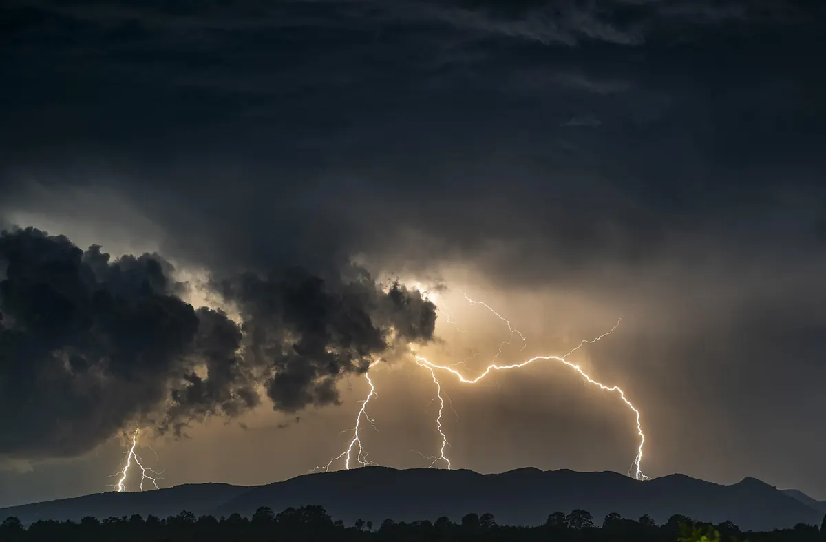
Summer in the Alps and the Apennines has a rhythm: clear mornings, cumulus building after midday, thunderstorms in the late afternoon. The cloud you can see over the next ridge at ten in the morning may be directly above you at two. Add the fact that temperature drops roughly six degrees per thousand metres of height, plus wind and rain, and a warm car park can feel very far away.
What actually helps:
- Check a regional forecast the evening before and again at breakfast. Italy's regional meteorological services, including the ARPA pages, are usually more useful in mountain areas than a generic app showing one icon for a whole province.
- Start early. It is the single most effective habit available to you.
- Set a hard turnaround time and keep it even when someone insists the summit is twenty minutes away.
- Carry a rain shell and a warm mid-layer on every walk, including in July.
- If thunder starts, come off ridges and summits and move away from isolated trees, poles held upright and metal railings. A valley floor or a building is better than a fast descent across open ground.
Mistake three: assuming the phone will get you home
Signal in the Italian mountains behaves in ways that surprise visitors: full bars on one side of a valley, nothing on the other, and often nothing at all exactly where the path forks. Cold drains the battery quickly, and so does walking with the screen lit. An app that needs a live connection is useless at precisely the moment you need it.
Build a small routine instead. Download the map area offline before you leave and test it in airplane mode. Carry a power bank and keep the phone in an inside pocket where your body keeps it warm. Take a paper map of the area — the CAI sheets or a good 1:25,000 walking map — and know at least the basics of reading it: which way is north, what the contour lines are saying, what the path numbers mean. Then tell someone your route and your expected return time, and message them when you are back at the car. That message is the real safety net, not the app.
Mistake four: not understanding the red-and-white markers
Italian trails are marked with painted red and white blazes on rocks and trees, supported by numbered signposts at junctions. The system is good, but it is not continuous in the way city wayfinding is: on open ground, in mist, or across a wide grassy shoulder, the next blaze can be fifty metres ahead and invisible from where you are standing.
Learn to read a junction. The top line of the signpost is where you are standing now, then each destination with its walking time in hours and minutes and the trail number. Words like dir. or variante signal a branch or an alternative line. If a route description mentions attrezzato or ferrata — chains, cables, ladders, exposed ledges — that is not beginner terrain. It needs a harness, a via ferrata kit and the knowledge to use both, or it needs to be left for another year.
Local conditions matter too: autumn hunting days, paths closed after storm damage, and livestock guardian dogs on pasture routes. Ask at the trailhead, at a rifugio, or check the website of the local CAI section before you set off.
Mistake five: dressing for the car park
A cotton t-shirt, running shoes and one small bottle of water will get you two hours along a flat path and then fall apart on scree, wet grass and a cold wind at 2,000 metres. Footwear is the first decision. Trail shoes with real grip are fine for most marked paths; boots earn their place on rocky, wet or long descending ground and give the ankle support that tired legs need. Break them in before a big day, not on it.
Socks in wool or synthetic, plus a spare pair in the pack, prevent more misery than any other item. Dress in layers — base, warm mid, wind and rain shell — and take the shell even under a blue sky. Carry two litres of water for a moderate half day, more in heat, and know where you can refill: mountain springs dry up and rifugi fountains are not guaranteed, and rifugi themselves keep seasonal opening hours and may be shut on weekdays in the shoulder months. Take a little cash for a coffee at the top.
One sensible note: if you have heart, breathing or knee problems, or you are returning from injury, get a doctor's view before planning a big ascent. A guided first outing with a local guide or a CAI group is also money well spent if you are unsure of your limits.
Mistake six: forgetting the descent
Most of the tiredness arrives on the way down, and so do most twisted ankles. After four hours of climbing, the legs are shaky, concentration slips, and the ground underfoot is often looser than it was on the way up. Budget the descent at sixty to seventy per cent of the ascent time, and on steep rocky ground assume it will take as long as going up.
Practical fixes: shorten your stride, keep your weight over your feet rather than behind them, eat something before you start down instead of at the car, and use poles on long descents if your knees complain. If they complain on every single descent, that is worth asking a physiotherapist about rather than pushing through it season after season.
A five-minute routine at the trailhead
Do this in order, every time, before you walk away from the car:
- Read the signpost, not just the app: destination, time, trail number.
- Say your turnaround time out loud.
- Look at the sky and check the forecast one last time.
- Confirm water, shell, warm layer, headlamp, offline map, power bank.
- Note the time you start and send your route to someone.
Then walk slower than you think you should for the first twenty minutes. Italian mountain paths reward the boring habits: an early start, an honest look at the dislivello, a jacket in the pack, and the discipline to turn around while the day is still going well. Do those and you will spend your energy on the view rather than on the way back.
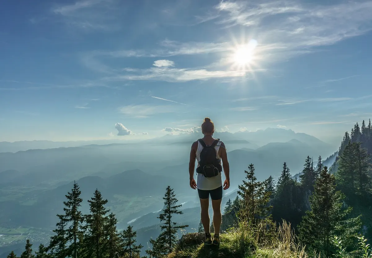
Photo: dreamypixel / Pixabay